Living
Where to Live in Bangkok: Choosing an Area
How to pick a Bangkok neighbourhood by commute, flood and air exposure, walkability and price tier, with a tour of the main areas and who they suit.
On this page
There is no single best area in Bangkok. There is a best area for your commute, your budget and what you can tolerate on a bad air day. The right way to choose is to rank the variables that actually bite (rail access, flood and pollution exposure, noise, walkability, building quality, and what is within a short ride) then match them against a shortlist of clusters, not a list of forty neighbourhoods.
This guide covers the variables first, then the main clusters, then a table matching common reader profiles to two or three areas each. For a direct comparison of the two most-asked-about spines, see Sukhumvit vs Sathorn; for one neighbourhood taken apart in detail, see the Ari area guide. For city-wide numbers, see Bangkok population and demographics.
The variables that actually decide it
Commute, measured in stops, not kilometres. Bangkok traffic makes distance on a map close to meaningless. Two stations 4km apart on the same BTS line can be an eight-minute ride; two points 4km apart across town with no rail link can be a 45-minute crawl in the wet season. Work out your commute as a number of stops plus a door-to-door minutes range that includes walking to the station and the wait, not the printed journey time alone.
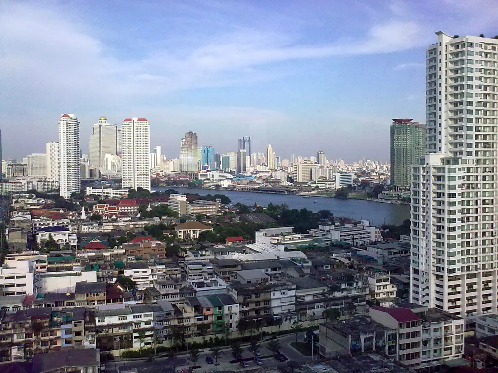
Which side of the river. The east bank (Sukhumvit, Silom, Sathorn, Ratchadaphisek, Ari, the old CBD) holds most of the rail network, the international schools, the hospitals used by foreigners and the office towers. The west bank, Thonburi, is quieter, cheaper and greener but thinner on rail coverage outside a few Purple and Silom line stations, and a car or boat matters more there.
Flood exposure. Bangkok sits on a flood plain and drains slowly. Low-lying sois away from a main storm drain can pool ankle-to-knee deep after a heavy afternoon downpour in the rainy season (roughly May to October), even in areas that never flood catastrophically. Ground-floor and basement parking are the practical risk, not the building itself. Ask a local agent or a long-term resident of the specific soi, not just the district, since flood behaviour varies street by street.
Air quality. PM2.5 spikes in the dry, cool season (roughly December to March), driven by regional crop burning, vehicle exhaust and temperature inversions that trap particulates over the city. Exposure is city-wide, but busy road junctions and areas with heavy through-traffic (parts of Ratchadaphisek, sections of Sukhumvit near expressway ramps) see worse readings than parks and low-traffic residential sois. A building with sealed windows and decent air conditioning matters more than the neighbourhood on the worst weeks.
Noise. Construction is near-constant somewhere in every fast-growing district; a quiet soi today can have a new tower going up next door within a year. Main roads carry motorcycle and bus noise into units facing the street. Corner units, high floors and buildings set back from a main road cushion this considerably.
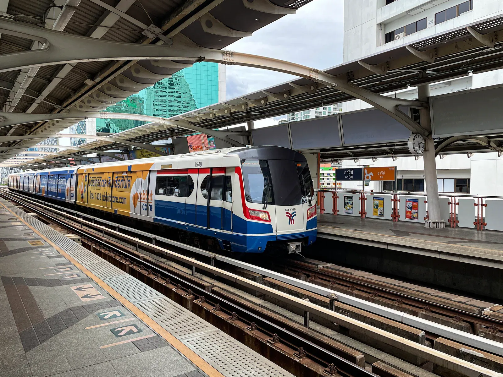
Walkability, or the lack of it. Pavements are inconsistent: some sois have wide, shaded, well-maintained footpaths; others have none, forcing pedestrians onto the road shoulder. Areas built around a BTS or MRT spine (Sukhumvit, Silom) tend to have denser, more walkable footpath networks near the stations, thinning out fast a few hundred metres off the line. Areas without rail (much of Lat Phrao, outer Bang Na) are built for cars and motorcycles first.
Condo age and building quality. Older buildings (pre-2010) tend to have larger floor plans and lower monthly fees but ageing plumbing, lifts and communal facilities. Newer towers have smaller units, higher common-area fees, and amenities (pools, gyms, co-working rooms) that matter to remote workers. Neither is automatically better; check the juristic person’s maintenance record and the building’s flood and generator backup if you’re on a low floor.
Groceries, hospitals and daily life within reach. A short ride to a full-size supermarket (Villa Market, Tops, Gourmet Market or similar), a pharmacy and a hospital with English-speaking staff matters more day to day than any single amenity. Lower Sukhumvit, Sathorn and Ari all score well here; some fringe areas require a longer trip for anything beyond a convenience store.
Schools. Families anchor their search around an international school’s catchment first and a neighbourhood second, since school runs in Bangkok traffic are punishing beyond about 20-30 minutes each way. Clusters near Bangna-Trad, Ramkhamhaeng, and pockets of Sukhumvit and Nichada Thani (north, off this list) carry the heaviest school density; see the school-specific guides for detail.
Price tier. Rents move in relative bands across the city rather than a single number. Lower Sukhumvit and the Sathorn/Silom core sit at the top; Thong Lo and Ekkamai close behind; upper Sukhumvit, Ari, Riverside and Rama 9 sit in the middle; Lat Phrao, Bang Na and Thonburi sit lower. Within any of these, an old low-rise unit undercuts a new tower on the same soi by a wide margin. Treat any figure you see, including here, as an indicative range to sense-check against current listings, not a quote.
Lower Sukhumvit: Nana, Asok, Phrom Phong, Thong Lo, Ekkamai
The default answer for most nomads, young professionals and anyone who wants density: restaurants, bars, coworking spaces, gyms and international supermarkets within a short walk of a BTS station, on a single unbroken rail spine. Nana and Asok sit closer to the older, more transient, more touristy end of Sukhumvit; Phrom Phong, Thong Lo and Ekkamai are quieter, more residential-feeling, and carry a premium for it. Asok is also Bangkok’s clearest interchange point, where the BTS crosses the MRT Blue Line, which matters if your work or social life pulls you toward Sukhumvit’s east-west spine and the CBD both. Parts of this stretch also cluster by nationality more than the area name suggests; see Bangkok’s Expat Enclaves by Nationality for where those communities actually sit.
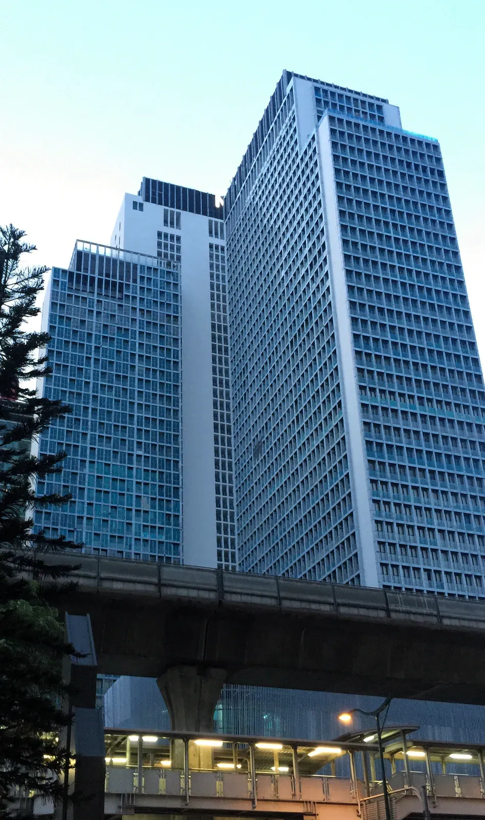
The catch is price and noise. This stretch carries the city’s highest rents outside a handful of super-prime towers, and the main road itself is loud, congested and only patchily shaded for walking. Step one soi back and both problems ease considerably. See the head-to-head with Sathorn at Sukhumvit vs Sathorn if you’re deciding between the two.
Upper Sukhumvit: On Nut, Bang Chak, Udom Suk
The same BTS line, a fraction of the price. On Nut in particular has become a default landing spot for nomads on a tighter budget: still on the line, still walkable near the station, with a large wet market, a well-known 24-hour supermarket and a growing café and coworking scene. Bang Chak and Udom Suk are quieter again, more local, less geared toward foreigners, with fewer English-language services within immediate walking distance.
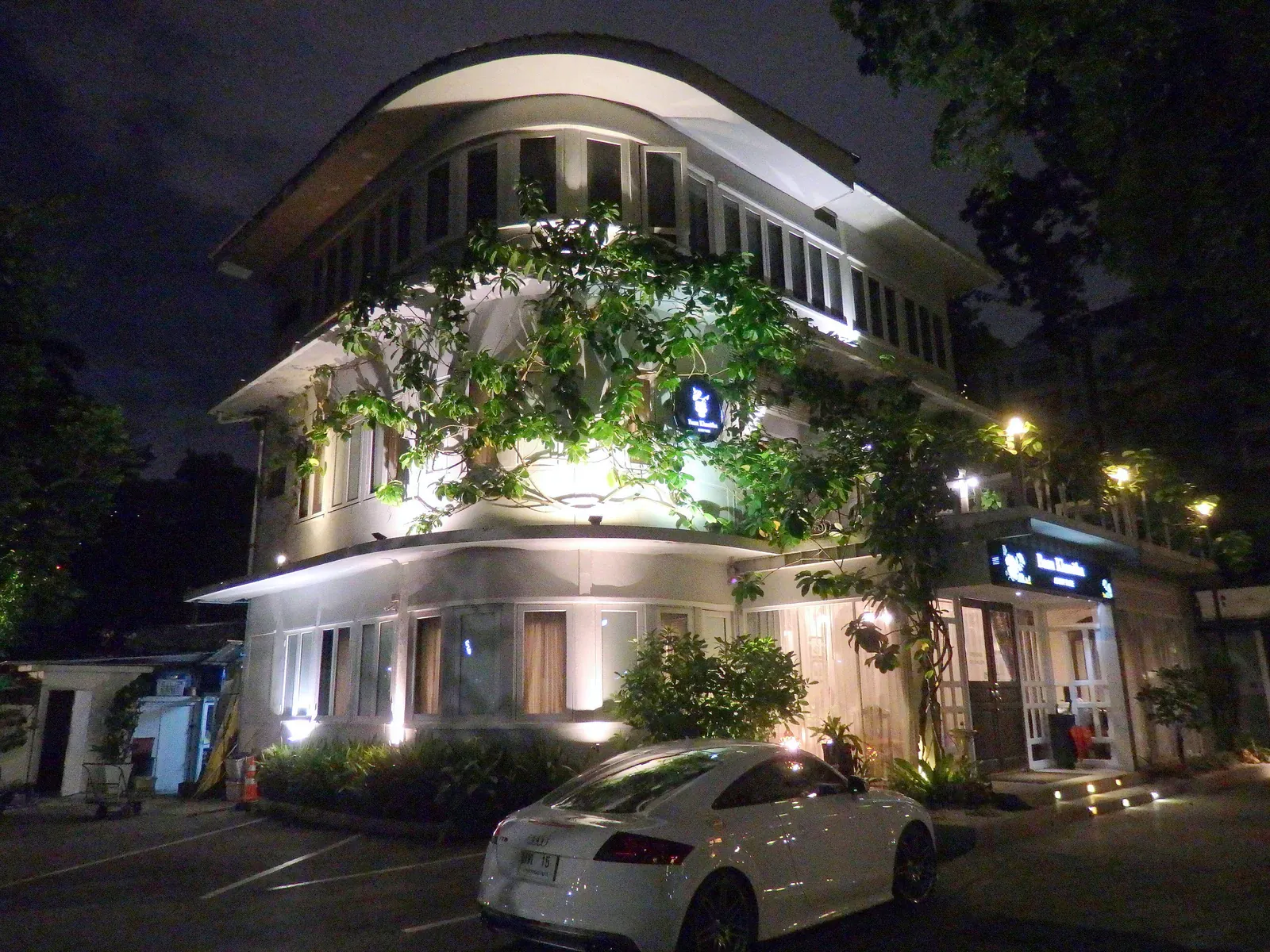
The trade-off is a longer ride into the lower-Sukhumvit or Silom nightlife and office districts, and a noticeably more residential, less polished streetscape once you’re off the station’s immediate footprint. For nomads, it’s usually the best value-for-transit-access combination on the east side.
Sathorn and Silom
Bangkok’s traditional financial district and the area with the best rail redundancy in the city: the BTS Silom line runs through it, and it crosses the MRT Blue Line at Sala Daeng/Silom, meaning two lines and two directions of escape from almost any point. Sathorn Road itself is corporate and buttoned-up; step into Soi Sathorn or the Suan Phlu and Yen Akat pockets south of the main road and the character changes to quiet, tree-lined, mid-rise residential streets popular with long-stay professionals and diplomatic staff.
Silom is louder and more mixed-use, with Patpong’s nightlife district sitting inside it and Lumphini Park providing the area’s best green space and a genuine running loop. Both suit anyone commuting to an office in the CBD more than anyone whose life runs on Sukhumvit’s restaurant density. Full comparison at Sukhumvit vs Sathorn.
Riverside and Charoen Krung
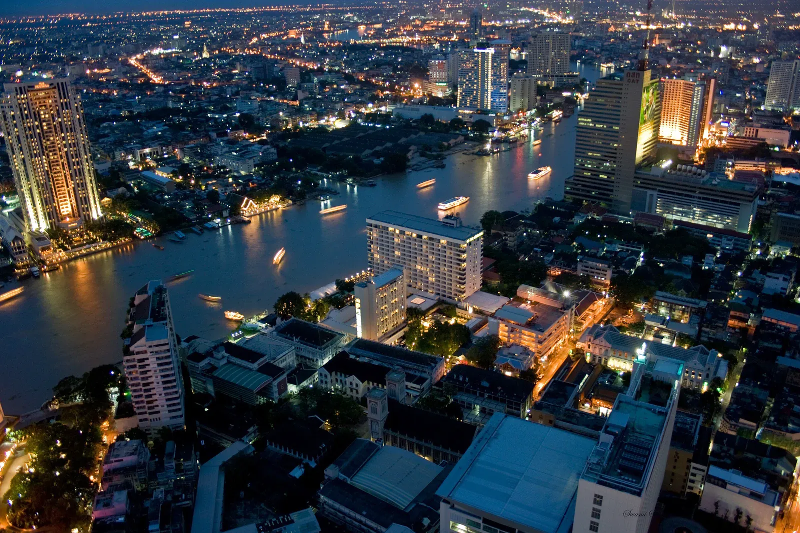
The Chao Phraya’s east bank around Charoen Krung Road and the piers near Saphan Taksin: converted warehouses, design-led cafés, ICONSIAM’s retail draw, and river views that no inland soi can match. The Saphan Taksin BTS station connects to the Chao Phraya Express Boat, so residents here often mix rail and river transport rather than relying on one line.
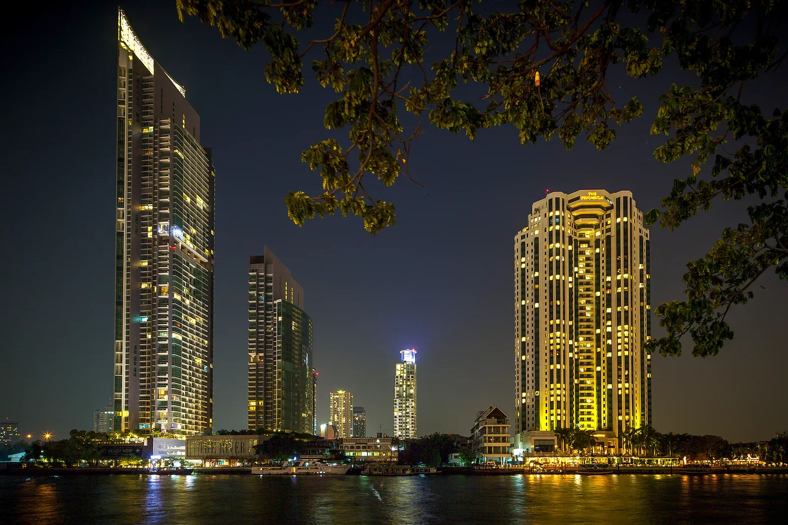
It suits people who want character and a slower pace within reach of the centre, and who don’t mind that most day-to-day errands mean a walk further from the station than lower Sukhumvit offers. Humidity and river mist affect ground-floor units more here than elsewhere, and the area’s rail coverage away from the river itself is thin.
Ari and the Phahonyothin spine
Low-rise sois, a strong café culture, and a noticeably calmer pace than Sukhumvit, on the BTS Sukhumvit line’s northern arm rather than its dense southern core. Full detail at the Ari area guide; in short, it suits people who want walkable local character over density and nightlife, and who can tolerate a longer ride to Silom or Sathorn for office days.
Ratchathewi and Victory Monument
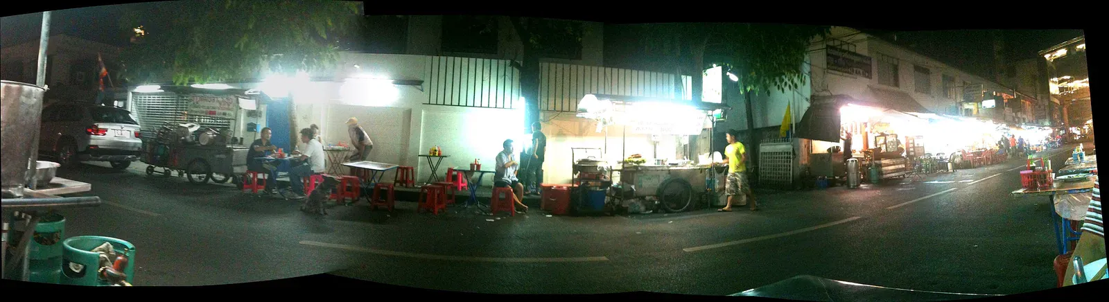
Central, well-connected (Ratchathewi and Phaya Thai both sit on the BTS with an Airport Rail Link interchange at Phaya Thai) and considerably cheaper than the Sukhumvit stretch two stops away. Victory Monument itself is a major bus interchange and traffic circle, busy and unglamorous at street level, but the sois radiating off it hold budget-friendly apartments popular with students and long-stay locals. It suits anyone who wants central rail access without lower-Sukhumvit prices and doesn’t need a polished streetscape.
Rama 9 and Ratchadaphisek
Bangkok’s newer secondary CBD: MRT-served, home to a cluster of new office towers, malls (Central Rama 9, The Street) and high-rise condo developments aimed partly at Chinese and other regional investors. It’s modern, MRT-anchored and mid-priced relative to Sukhumvit, but it lacks the low-rise character and walkable soi network of Ari or Thong Lo: this is a district built around towers and a mall, not streets. It suits professionals working in the area’s own office towers more than anyone who wants neighbourhood life.
Lat Phrao
A large, mostly residential district along the MRT’s northern stretch, popular with Thai families and increasingly with foreigners priced out of Sukhumvit. Genuinely affordable, with real neighbourhood infrastructure (markets, schools, local restaurants) but thinner on the English-language services and international-standard amenities that lower Sukhumvit or Ari take for granted, and much of it sits a longer ride from the CBD than the price advantage first suggests.
Bang Na
The BTS Sukhumvit line’s southern extension, close to Bangkok’s largest international-school cluster and the newer Bangna-Trad corridor of housing developments. It’s the default pick for families anchored to a specific school and comfortable trading inner-city density for space, a car-friendlier layout and (in the newer housing estates) a garden. It’s a poor fit for anyone who wants to walk to dinner; much of the area assumes a car or ride-hailing for daily errands.
Thonburi
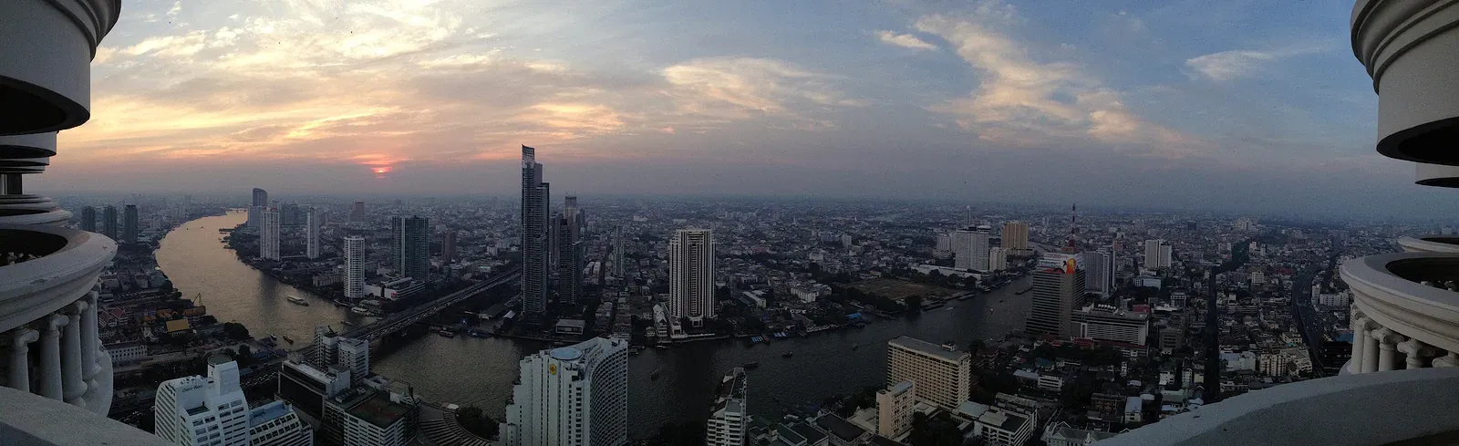
The river’s west bank: Wongwian Yai, Talat Phlu and the southern stretch of the BTS Silom line extension, plus a growing MRT Purple Line presence further north. Genuinely cheaper than the east bank for comparable space, quieter, and increasingly popular with Thai creatives and some foreigners priced out of Sukhumvit, but rail coverage is thinner and a scooter or car does more work here than on the east bank’s dense grid.
Rattanakosin (old town)
The historic core around the Grand Palace, Wat Pho and Khao San Road: atmospheric, walkable within itself, and almost entirely without rail coverage, with the nearest BTS or MRT stations a fair walk or a short boat or taxi ride away. It suits people prioritising heritage streetscape and short-term stays over daily commuting logistics; it’s a difficult long-term base for anyone working a normal office schedule elsewhere in the city.
Which area fits which reader
| Reader | Shortlist | Why |
|---|---|---|
| Digital nomad / remote worker | Ari, On Nut, lower Sukhumvit (Phrom Phong-Thong Lo) | Café density, coworking, single-line rail access; On Nut and Ari for value, lower Sukhumvit for density |
| Senior (medical or retiree) | Sathorn, Phrom Phong, Riverside | Hospital proximity, flatter walking routes near the station, calmer streets off the main road |
| Property investor | Rama 9, upper Sukhumvit, Thonburi (Purple Line stretch) | New-build supply, MRT anchoring, price growth relative to the already-mature Sukhumvit core |
| Small-business founder | Ari, Thong Lo, Ratchathewi | Footfall and character for a café or retail concept; cheaper fit-out costs than lower Sukhumvit |
| Relocating family | Bang Na, Sathorn (Suan Phlu pocket) | School-cluster proximity, or a quieter Sathorn soi within reach of international schools further out |
| Student | Victory Monument, Lat Phrao | Budget rents, proximity to several universities, workable rail or bus links |
Common questions
What is the safest area to live in Bangkok?
Most of the rail-served, well-lit districts covered here (lower and upper Sukhumvit, Sathorn, Ari, Riverside) are comparably safe for day-to-day living; Bangkok’s violent crime rate is low by international standards. The bigger practical risks are traffic (as a pedestrian or scooter passenger) and petty theft in dense tourist areas, not neighbourhood-specific danger. For specific claims about which areas to avoid, and what’s actually true, see Bangkok Areas to Avoid: Myth vs Fact.
Should I live near a BTS or MRT station, or is a bit further away fine?
Aim for a genuine walking distance to a station (under about 10-15 minutes on foot, or with a short and reliable motorcycle-taxi hop) rather than a straight-line distance on a map. Beyond that, you’re relying on Bangkok traffic for every trip, which erodes the point of picking a rail-served area in the first place.
Is it cheaper to live on the west bank (Thonburi) than the east bank?
Generally yes, for comparable space and building age, but the trade-off is thinner rail coverage and a greater reliance on a car, scooter or boat for daily life. It suits people not tied to a daily office commute on the east side more than it suits someone commuting into Sukhumvit or Silom.
How much should I budget for rent in a good area?
Budgets vary widely by building age and unit size, and any specific figure dates quickly: check current listings on the major Thai property platforms for the soi you’re considering rather than relying on a published number. As a broad steer, expect lower Sukhumvit and Sathorn/Silom to sit at the top of the city’s rent range, Ari and upper Sukhumvit in the middle, and Lat Phrao, Bang Na and Thonburi lower.
Which area is best if I don’t know Bangkok yet and just need a starting point?
On Nut or Ari for most first-time movers: both sit on the BTS Sukhumvit line, both are walkable and well served for groceries and cafés, and both are considerably cheaper than the lower-Sukhumvit core while still putting the rest of the city within a manageable ride. Rent a short lease first and reassess once you know your actual commute and habits.
Do I need to worry about flooding wherever I live?
Some exposure exists across most of the city in a heavy rainy-season downpour, but severity varies street by street rather than district by district. Ask about a specific soi’s drainage history from a local agent or a resident before signing a lease, and check whether parking and ground-floor units flood in normal heavy rain, not just in exceptional years.
Written by
Mike Brochlowski
Founder and editor, travel photographer and designer
I'm Mike Brochlowski, a travel photographer and designer, and I currently live on Koh Samui, Thailand. I built BangkokWiki to put practical, checked information about Bangkok in one place. Every page is researched from official and primary sources, and the text names them. Where a page shows a checked date, that is when its facts were last confirmed. I also run samui69.com, a non-commercial guide to Koh Samui. If you spot an error or something out of date, tell me through the contact page and I will check it and correct the page.
Read all articles
Visas and paperwork
Staying in Thailand longer?
Visas, extensions, documents and banking for longer stays. Rules and fees change often and offices apply them differently, so check the official source before you act.
Places to stay
Find a hotel
Explore the other desks
More from Living
- 10 min read
 9 min read
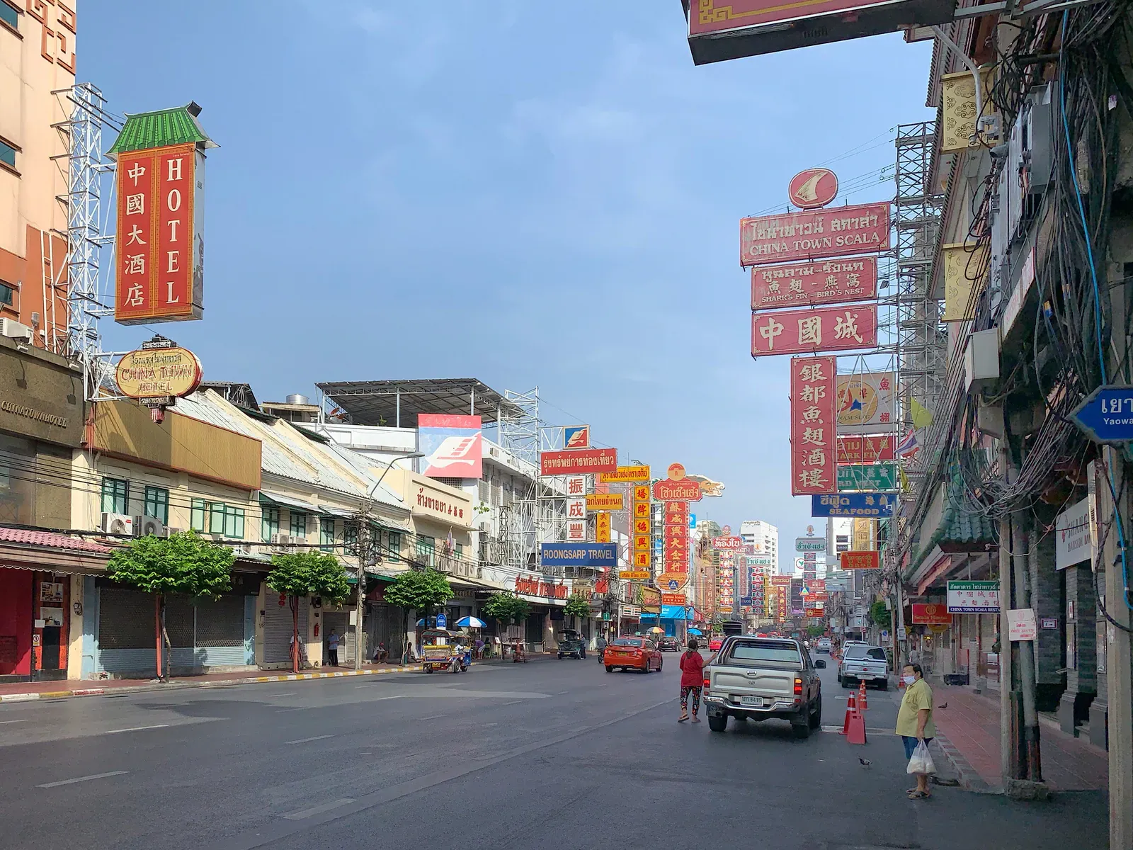
Bangkok's Expat Enclaves: How Nationality Shaped Its Areas
 5 min read
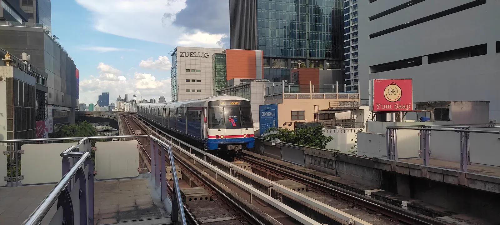
Silom Bangkok Area Guide: Business District After Hours

Newsletter
You're subscribed as