Things to do
Bang Krachao: a proper day in Bangkok's green lung
How to reach Bang Krachao, cycle its raised paths, find the floating market, and spend a half or full day in the city's largest green space.
At a glance
- Reading time
- 13 min read
- Chapters
- 13
- Published
- Sep 20, 2026
On this page
Bang Krachao is a bend of the Chao Phraya directly opposite central Bangkok that never got developed, and it is now the closest thing the city has to a real green lung: a horseshoe of villages, orchards and mangrove reached only by boat, with raised concrete paths instead of roads through most of it. A day here, done properly, is one of the better contrasts to the rest of the city that Bangkok offers, and it earns its place alongside the central parks as one of the best green spaces near Bangkok.
What it actually is
Bang Krachao sits inside a meander of the Chao Phraya, surrounded on three sides by the river and connected to the mainland by a narrow neck of land, which is why crossing by ferry is usually faster and simpler than driving round. It covers several villages across a few districts, and most of the interior is unpaved lanes and raised concrete walking-and-cycling paths threading between mangrove stands, fruit orchards, and small wooden houses on stilts. There is no dense development here, no skyline, and very little motor traffic: this is deliberate, protected land use rather than an accident of neglect, and it is why Bangkok’s planners and residents alike refer to it as the city’s green lung.
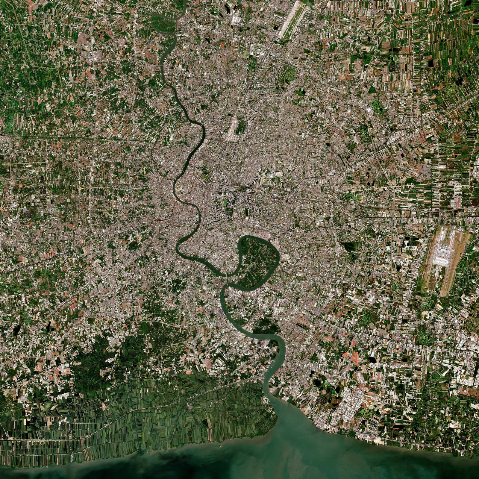
That framing matters. Central Bangkok has strikingly little green space for its population, and Bang Krachao’s rough, undeveloped character is precisely what keeps it valuable: it is not a manicured park with mown lawns, it is a working landscape of orchards and homes that happens to be extraordinarily green, and visitors move through it as guests rather than owners of the space.
Getting there: the part most guides get wrong
The crossing is a short ferry ride, not a bridge or a long boat journey, and it is the single detail that trips up first-time visitors who expect a more elaborate journey than it actually is.
The main crossing runs from a pier near Khlong Toei (commonly reached via a taxi or short ride from the Khlong Toei area) across to a landing point on the Bang Krachao side. The crossing itself takes only a few minutes. Small motorised boats run frequently through the day, generally from around 08:00 into the evening, though exact hours vary by pier and are worth confirming on arrival rather than assuming. The fare is a nominal few baht per person each way, genuinely one of the cheapest things you will do in Bangkok, well under a dollar (indicative for 2026).
What you can bring on the boat: pedestrians, and bicycles are routinely carried too: a bicycle rolled onto a small ferry alongside foot passengers is completely normal here, and it is how most day-trippers who bring their own bike make the crossing. Motorbikes can also be ferried at some crossings. There is no formal baggage restriction beyond common sense on a small, low boat.
Other crossing points exist further along the river, including options nearer Bang Na and closer to the Chong Nonsi area on the Bangkok side, useful if you are starting from a different part of the city; check current pier locations before setting out, since informal piers can shift.
Hiring a bicycle is easiest done right at the landing point on the Bang Krachao side, where several small stalls rent out basic single-speed bikes by the hour or the day. Rental runs in a broad, low band: roughly ฿50-100 for the day (something like $1.50-3, indicative for 2026), and quality varies stall to stall, so a quick check of brakes and tyres before setting off is worth the minute it takes. If you prefer a guide, see our bike tours comparison.
The alternative road route loops round via the neck of land connecting Bang Krachao to the mainland, driveable by car, taxi or motorbike, but it is a long way round compared with the direct ferry crossing and defeats much of the point of visiting: most of the interior is only accessible on foot or by bike regardless of how you arrive, so driving round saves little beyond avoiding the boat.
The day: paths, park, market and orchards
The raised cycle paths are the main event: narrow concrete tracks, elevated above the flood-prone ground on either side, winding through mangrove canopy, small canals and orchard plots. They are easy riding in the sense that the terrain is flat, but narrow enough that meeting oncoming cyclists, motorbikes or pedestrians requires slowing down and giving way, and tree roots or uneven joints crop up often enough to keep your attention on the path rather than the scenery. This is not a wide, forgiving greenway: treat it more like a shared village lane that happens to be raised and paved. Runners rate these same paths as some of the best long-run terrain near the city, see running in Bangkok for the detail.
Sri Nakhon Khuean Khan Park and Botanical Garden, generally referred to simply as the park, sits roughly at the centre of Bang Krachao and is the nearest thing to a conventional park here: shaded paths, a lake, denser planting, and noticeably cooler air under the tree cover than the open orchard roads around it. It is a natural midpoint to stop, rest and refill water.
The weekend floating market, most commonly Bang Nam Phueng, runs on Saturdays and Sundays and is one of the better reasons to time a visit for the weekend: food stalls over the water, produce from the surrounding orchards, and a noticeably more local, less staged atmosphere than the floating markets built primarily for tour groups elsewhere. It gets busy by late morning, so arriving reasonably early gives a calmer look at it before the crowds and the heat both build.
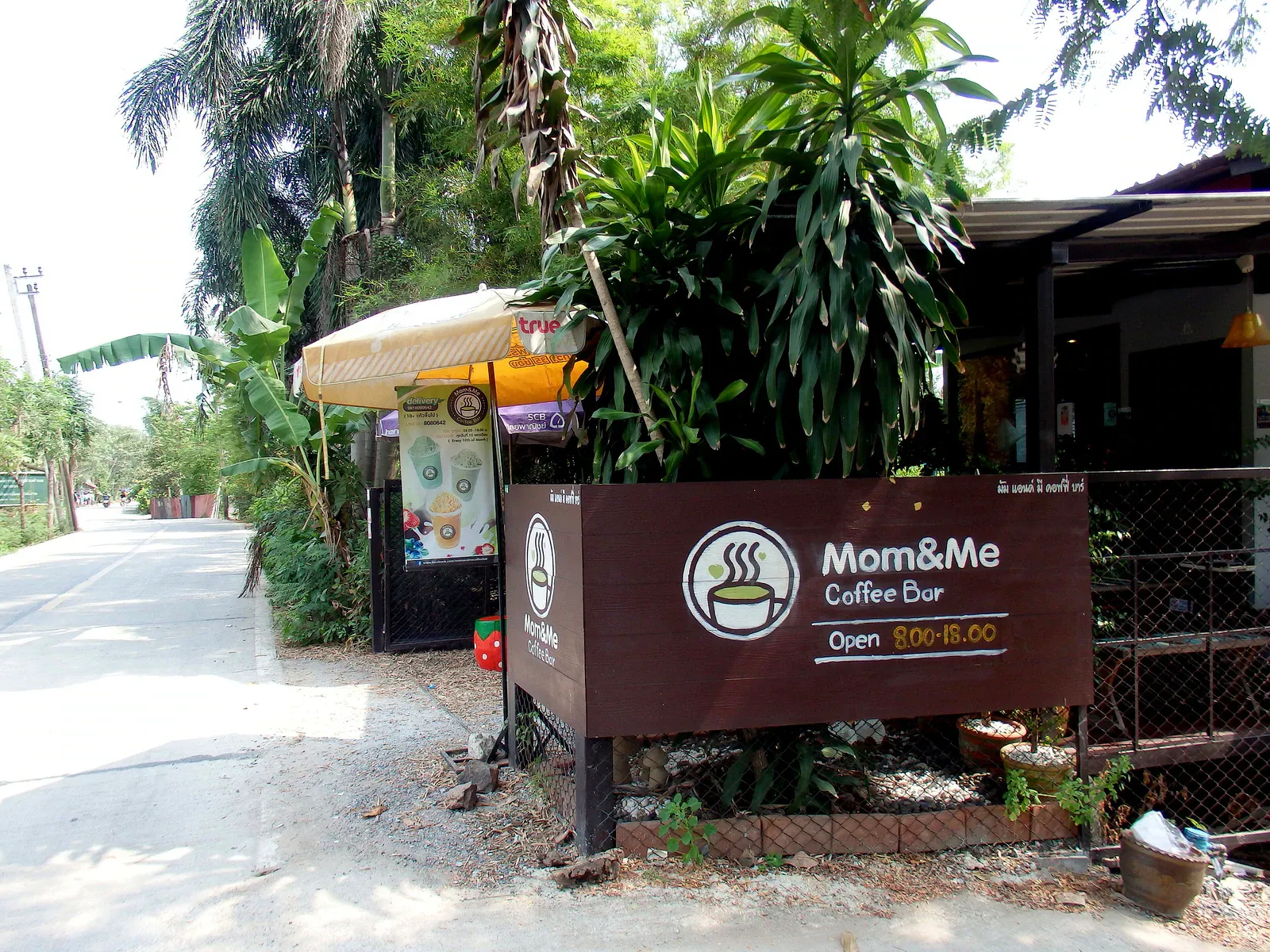
Small cafés and orchard stops are scattered along the main paths, ranging from a simple table selling fruit from the trees behind it to a handful of more deliberately styled coffee shops that have opened to catch weekend cyclists. None of these are large operations (this is not a food-tourism destination), and it is worth carrying some cash in case a stall has no card or QR option.
Birdlife is genuinely good for an urban-adjacent site: herons and egrets around the canals and mangrove edges, plus a wider variety for anyone willing to slow down and look rather than cycle straight through. Early morning gives the best chance of seeing more than a fleeting flash of white wings overhead.
How long a loop honestly takes: a relaxed loop covering the park, a stretch of the main paths and a stop at the market or a café is a realistic half-day outing once the ferry crossing and getting oriented are factored in. Covering more of the outer paths, additional orchard stops and a slower pace at the market pushes it into a full day. Exact distances are hard to state precisely because the path network branches constantly; treat any number you see quoted elsewhere as a rough guide rather than a fixed distance.
Practical craft
Go early. The heat builds through the morning, and shade on the raised paths is inconsistent: some stretches run under dense canopy, others are fully exposed. An early start also means calmer paths before the weekend cycling crowds and better light for the birdlife.
Rain and slippery paths. The raised concrete surfaces can get slick when wet, and a sudden downpour is a normal feature of the wetter months rather than a rare event. If rain starts, slow down significantly rather than continuing at the same pace: a wet concrete path with a soft mud drop on either side is not forgiving of a skid.
Punctures happen, given the mix of surfaces and the odd bit of debris on less-maintained stretches. Basic repair support exists at some rental stalls, but do not assume it at every one; if you are riding far from your starting point, a slow ride back on a flat tyre is the realistic fallback rather than expecting roadside help.
Water and mosquitoes. Carry more water than feels necessary: shade is patchy and there are long stretches between shops on the quieter paths. Mosquitoes are a genuine presence near the mangrove and canal sections, worse toward dusk, so repellent applied before setting out is worth the minor inconvenience.
Cash versus QR. Bang Krachao has few ATMs, and while many stalls now accept QR code payment, not all do, particularly smaller orchard stops and some ferry crossings. Carry enough small-denomination cash to cover the ferry, a bike rental and a meal without relying on a card working everywhere.
Respect the residential area. Bang Krachao is not a theme park: people live, farm and raise children along these paths, and cyclists moving too fast through a narrow lane past someone’s front door is a real source of friction. Slow down through village sections, give way to pedestrians and motorbikes, and keep noise down; it costs almost nothing and keeps the place pleasant for everyone, including the next visitor.
What to pack for the day
- Water, more than feels necessary: shops thin out on the quieter outer paths.
- Sun protection: hat, sunscreen, sunglasses; shade is inconsistent along the raised paths.
- Insect repellent, applied before setting out, reapplied toward dusk if staying late.
- Small-denomination cash for the ferry, bike rental, and stalls without QR payment.
- A light rain layer in the wetter months: downpours arrive quickly and rarely give much warning.
- Basic footwear you don’t mind getting muddy, since a sudden shower can turn the unpaved side lanes soft even when the raised paths themselves stay passable.
- A phone with an offline map saved, since the branching path network is easy to misjudge and mobile signal can be patchy in the denser mangrove sections.
Why the “green lung” label matters
Bangkok loses green cover every year to development, and Bang Krachao’s protected, low-density status is not an accident: it reflects deliberate planning decisions to keep this bend of the river undeveloped precisely because the city has so little green space left elsewhere. That context is worth carrying into the visit itself: this is not simply a pleasant cycling park but one of the last large tracts of semi-wild land within easy reach of a city of many millions, and the paths, orchards and village life here exist in something close to their traditional form because of that protection rather than despite pressure to build. Visitors who treat it with the same casual disregard they might bring to a purpose-built tourist park (leaving litter, cycling recklessly through village lanes, ignoring the fact that people live and farm here) undermine exactly what makes the place worth the ferry crossing in the first place.
Going with children
Bang Krachao works well as a family outing precisely because the paths are flat, largely traffic-free and slow-paced by nature: a child on a rented bike or a bike seat is far safer here than on almost any road in central Bangkok. The park at the centre gives a natural rest stop with shade and space to run around away from any path traffic. The main things to plan around are heat (shorten the loop and time it for morning) and the narrow paths themselves, which mean a wobbling young rider needs a bit more space than an adult would on the same track. The floating market on a weekend adds an easy, low-pressure activity for a family group that doesn’t want to commit to a long cycling loop.
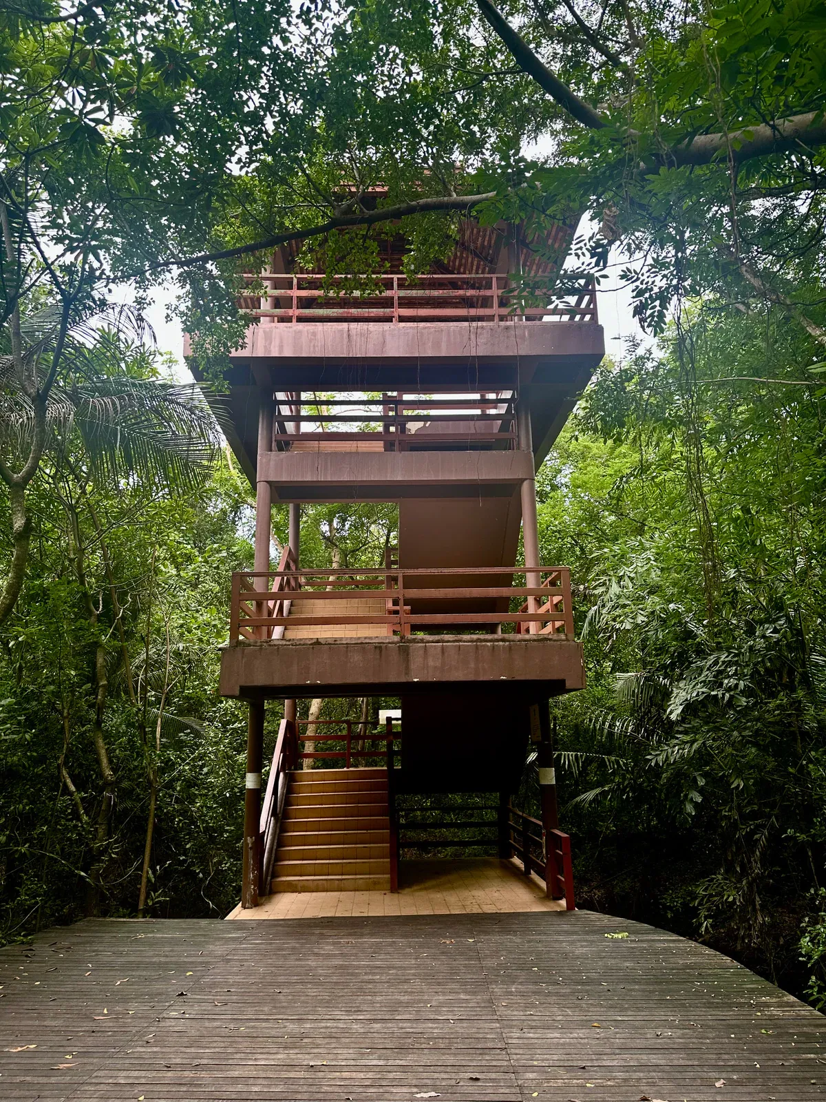
Doing it without a bicycle
Walking is entirely viable for a shorter visit, particularly a loop that sticks to the central park and the paths nearest the main landing point, and it suits anyone who wants to move slowly and actually look at the birdlife or the orchards rather than cycle past them. It rules out covering much of the wider path network in a single visit, so treat a walking trip as a shorter, more focused outing rather than an attempt to see everything. Some visitors also hire a motorbike taxi at the landing point for a faster, guided-feeling loop, though this trades away much of the quiet that makes the place worth visiting.
Combining it with the riverside on the way back
Because the ferry crossing lands back near the Khlong Toei riverside, it is easy to fold a Bang Krachao trip into a wider river-focused day: a late-afternoon crossing back followed by a walk or a drink along the Bangkok-side riverside, or a river taxi north or south to explore a stretch of the Chao Phraya you might not otherwise visit. This works better as an idea to hold loosely than a tightly timed plan, since the ferry crossing and the state of the tide can both add unpredictable minutes.
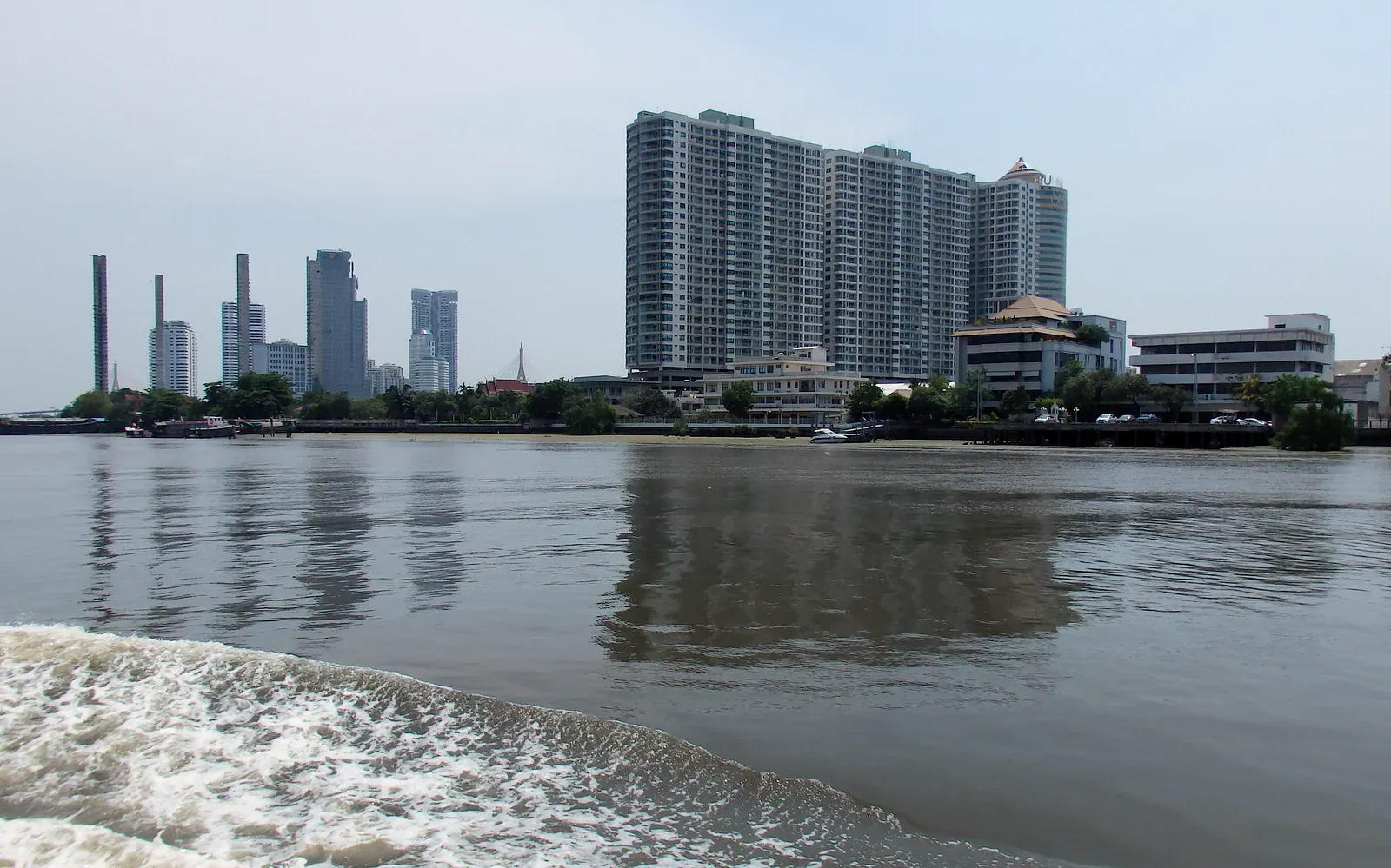
Is it worth it in the rainy season?
Honestly, it depends on how much rain falls on the day. A dry rainy-season morning is arguably the best time to visit: everything is lush, temperatures are a touch lower than peak hot season, and the crowds are thinner. But a genuinely wet day makes the raised paths slippery and unpleasant, turns some of the unpaved side lanes to mud, and strips away most of the appeal of an outdoor cycling day. If the forecast shows a heavy downpour, it is worth treating Bang Krachao as a flexible plan: go if the morning looks clear, and hold off or switch to an indoor activity if it does not. A light shower that clears is rarely worth cancelling for; a tropical downpour is.
A half-day plan
- Early morning: taxi or transit to the ferry pier near Khlong Toei, cross by boat with a rented or brought bicycle.
- Ride to Sri Nakhon Khuean Khan Park: a shaded stop, water refill, short walk around the lake.
- Loop through nearby orchard paths: slow riding, a stop at a fruit or coffee stall.
- Return to the landing point: ferry back before the late-morning heat sets in fully.
A full-day plan
- Early morning: cross by ferry, hire a bicycle at the landing point if you haven’t brought one.
- Ride the central park and a wider loop of the main paths, taking the birdlife and canal views slowly rather than racing the loop.
- Midday: retreat to shade at the park or a café for the hottest hours; this is not the time to push through the outer paths.
- Early afternoon: if it’s a weekend, ride to Bang Nam Phueng floating market for a late lunch once the worst of the late-morning crowd has thinned slightly, or continue exploring a different section of paths on a weekday.
- Late afternoon: return the bicycle, cross back by ferry as the light softens.
- Evening: combine with a riverside walk or drink back on the Bangkok side before heading on.
Common questions
How do you get to Bang Krachao from Bangkok?
By a short ferry crossing, most commonly from a pier near Khlong Toei, taking only a few minutes. Bicycles and, at some crossings, motorbikes can be carried on board. A longer road route round the neck of land also exists but is rarely worth it given how central the interior is to the point of visiting.
Is Bang Krachao worth visiting?
Yes, particularly for anyone wanting a genuine contrast to the rest of Bangkok: flat, quiet, largely traffic-free paths through mangrove, orchard and village land, best explored by bicycle over a half or full day.
Do I need to bring my own bicycle to Bang Krachao?
No. Rental stalls at the main landing point hire out basic bicycles by the hour or day at a low, indicative cost, and quality is generally fine for the flat, easy terrain. Bringing your own is only worth it if you want higher-quality gearing or plan a longer loop.
Is Bang Krachao good for families with children?
Yes: the flat, largely traffic-free raised paths and the central park make it one of the safer places near Bangkok for children to cycle, and the weekend floating market adds an easy, low-effort activity for a family group.
When is the floating market at Bang Krachao open?
Bang Nam Phueng floating market runs on Saturdays and Sundays, busiest from late morning; arriving earlier gives a calmer visit before the crowds and the midday heat build.
Is Bang Krachao worth visiting in the rainy season?
A dry morning in the rainy season can be one of the best times to go, with lush greenery and thinner crowds, but a genuinely wet day makes the raised paths slippery and strips away most of the appeal: treat it as a plan to make on the morning itself rather than book in advance.
Written by
Mike Brochlowski
Founder and editor, travel photographer and designer
I'm Mike Brochlowski, a travel photographer and designer, and I currently live on Koh Samui, Thailand. I built BangkokWiki to put practical, checked information about Bangkok in one place. Every page is researched from official and primary sources, and the text names them. Where a page shows a checked date, that is when its facts were last confirmed. I also run samui69.com, a non-commercial guide to Koh Samui. If you spot an error or something out of date, tell me through the contact page and I will check it and correct the page.
Read all articles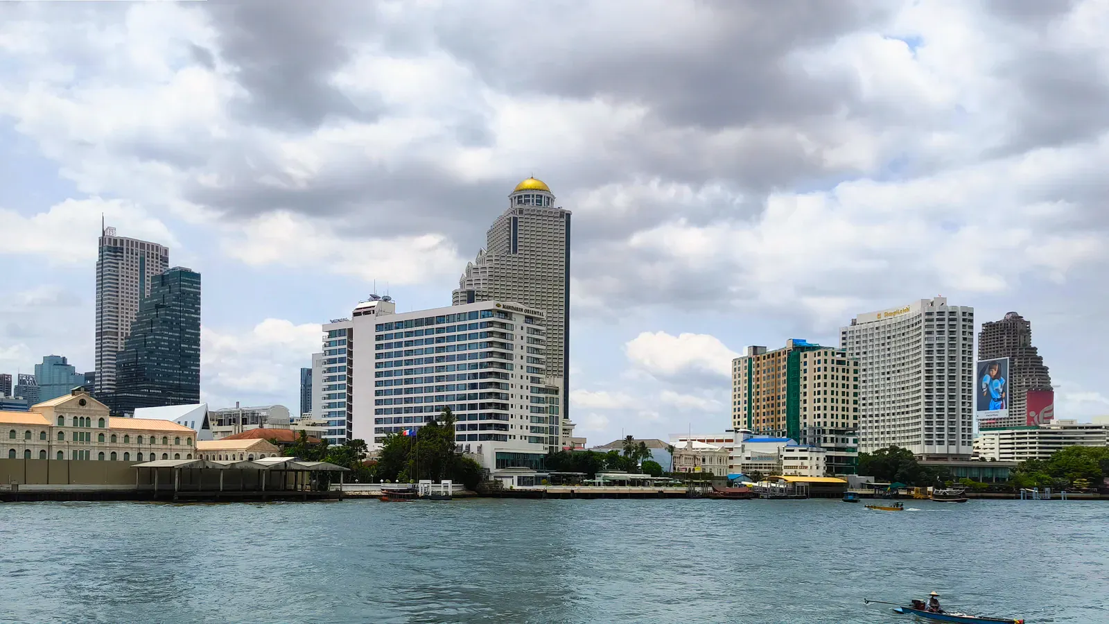
Where to stay
Pick the area before the hotel
Traffic and heat make Bangkok distances feel longer than they look on a map, so the area shapes a trip more than the hotel does. Our guides match areas to trip types and explain the trade-offs.
Places to stay
Find a hotel
More from Things to do
- 13 min read
 10 min read
Chatuchak Weekend Market Guide: How to Navigate It
 10 min read
Floating Markets Near Bangkok Compared

Newsletter
You're subscribed as